
In the region, more than 1.2 million hectares of land were harvested.
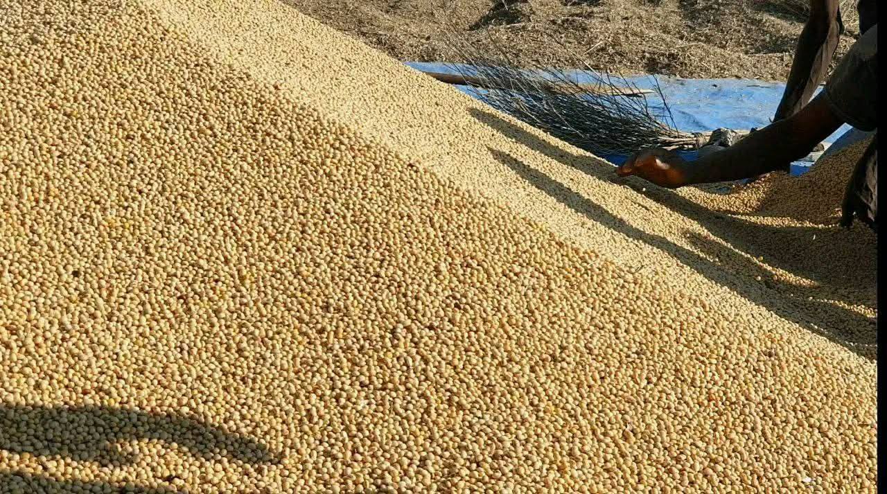
In the Amhara region, in the 2017/2018 production season, the agricultural office of the region has announced that crops have been harvested on more than one point two million hectares of land planted with different crops.
Mandefro Aslake (Dr.), Director of Crop Development and Protection in the office; He told ESA that the prevention of untimely rains and wastage has been strengthened by collecting the crops that arrived early in the region.
Click on the following links to get more information from South Gondar Zone Communications.
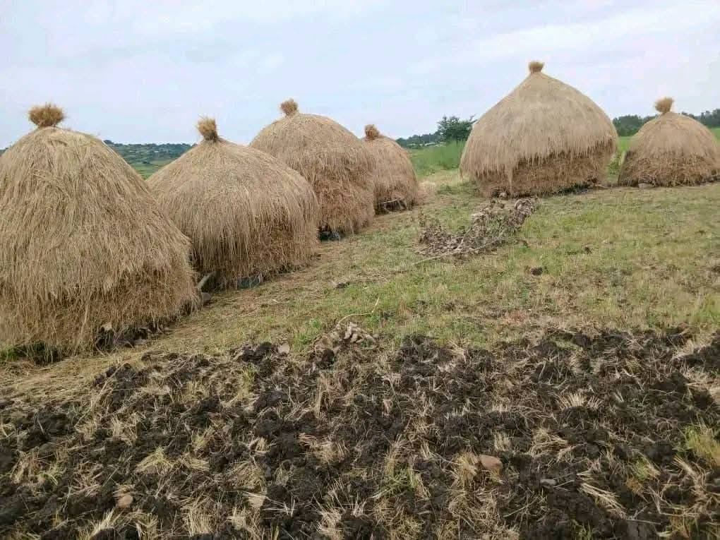